Live location sharing for VFR flights, family and fleets
Link-H tracks the position of aircraft performing VFR flights. You can also use it to follow family members, business partners or fleet vehicles on the map.
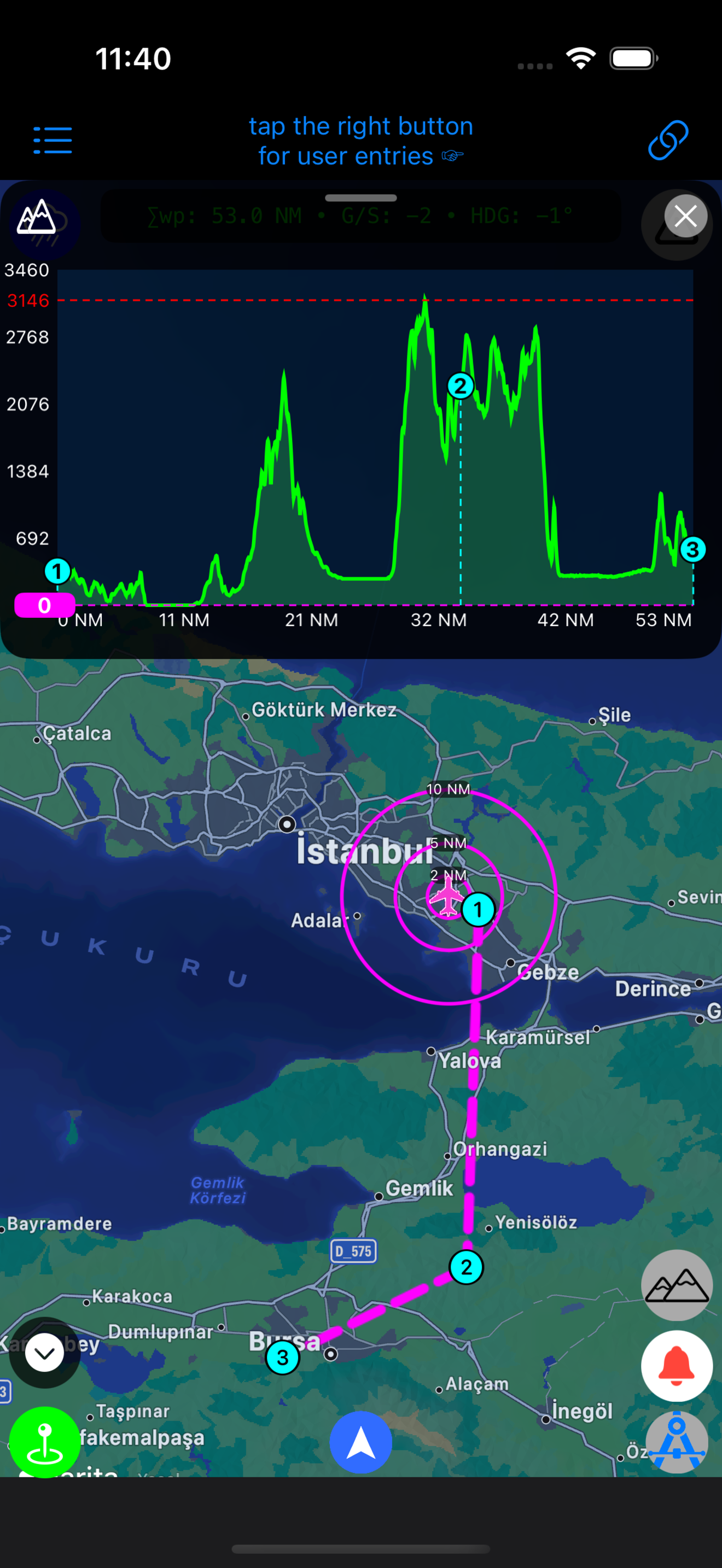
Features
- Real-time location sharing updated every 30 seconds.
- Location history of your followers and yourself.
- Tracker details: update time, course, speed, altitude, bearing-range, distance and TTT to tap point, battery level, address info and location notifications.
- Satellite, OSM and TOPO maps.
- METAR & TAF, meteorological radar and satellite images.
- Widgets and notifications for visibility and cloud base minimums.
- Flight logs and elevation data.
- Simple privacy: pick a tracking channel number (0–999999) for your group. No account needed for sharing.
NOTAM upload tool
Download NOTAM data, upload the KML file here, then choose “Load from Online” in the Link-H app.